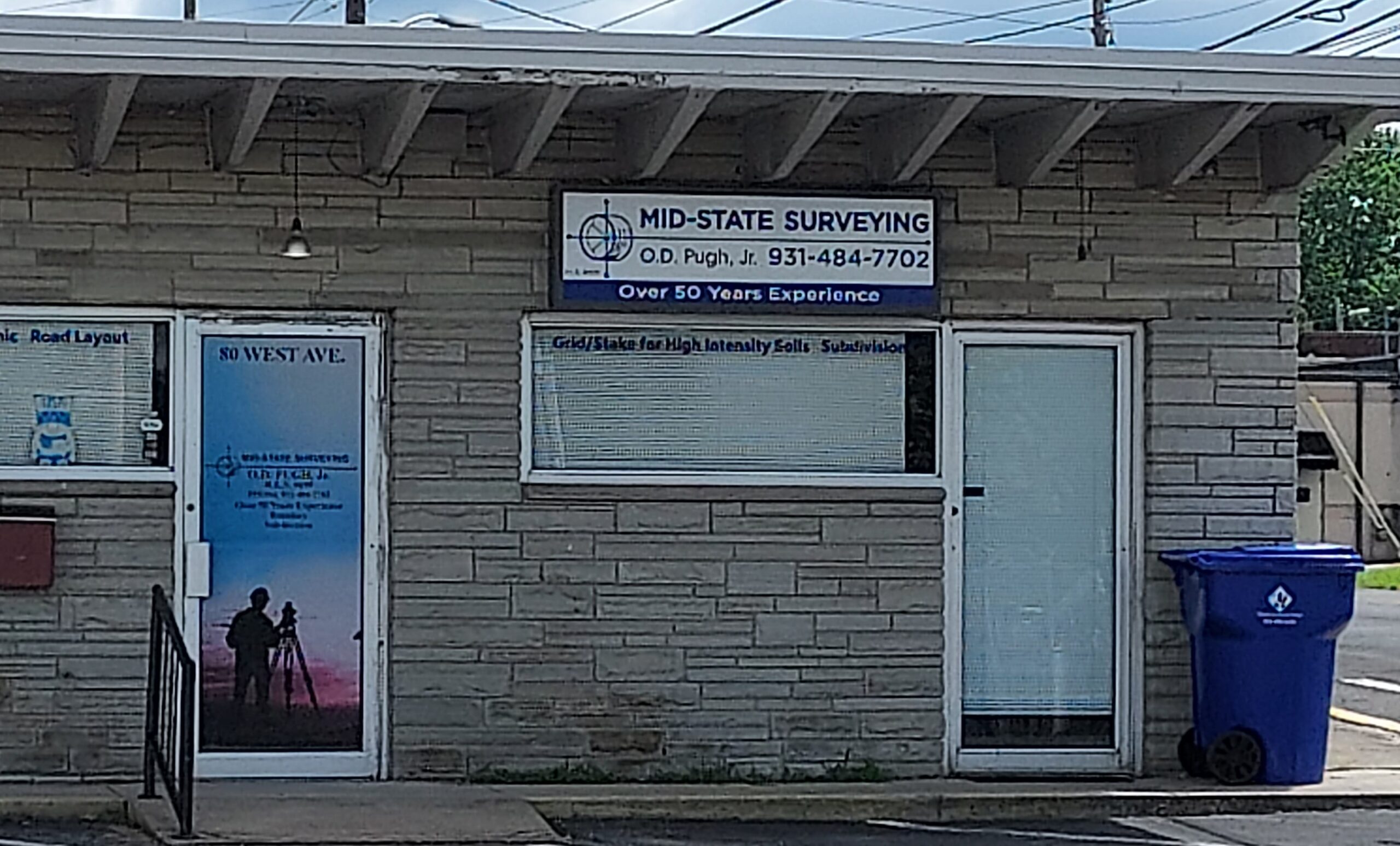
Mid-State Surveying
Measuring the Upper Cumberland for over 50 years
We Are A Land Survey Company Covering All Of The Upper Cumberland
About Us
Mid-State Surveying has been in the Land Surveying Business since 1970, with as many as three fully outfitted survey crews. We have done work for many developments, such as Renegade Resort, Holiday Hills Resort, Hideaway Hills Resort, Breckenridge Lake Development, Lake Tansi Resort, Fairfield Glade Resort, and The Gardens. We have done survey work for many local realtors, such as Pioneer Realty, Century 21, Exit Rocky Top Realty, Berkshire Hathaway Home Services Southern Realty, Plateau Properties, Marcka Realty, and Uplands Village Real Estate. We have done work for local banks and local savings and loans.
Mid-State Surveying has a full-time office manager that does deed research, draws plats, talks to potential clients. She has been with Mid-State Surveying for more than 28 years.
They have had their land surveying license in the state of Tennessee for over 50 years and have personally owned and developed over 15,000 acres in various subdivisions in the local area.
Learn About Our Services


LOT SURVEY
A lot survey service typically involves mapping and measuring specific parcels of land.
- Boundary Identification: Determining the precise boundaries of a lot based on legal descriptions found in deeds, plats, or other documents.
- Marker Placement: Setting markers at property corners and along property lines for clear boundary delineation.
- Existing Structure Location: Identifying the location of existing structures in relation to property boundaries.
- Property Description Verification: Ensuring that recorded descriptions match the actual surveyed lot dimensions and details.
- Preparation of Survey Maps: Creating detailed survey maps or plats showing the lot lines, structures, and other pertinent features.
Acreage Tracts
The acreage tracts service typically involves surveying larger parcels of land that are measured in acres rather than smaller lots.
- Large-Scale Boundary Surveys: Accurately determining and mapping the boundaries of large properties or tracts.
- Division of Land: When necessary, these surveys can be used to subdivide a large area into smaller plots or tracts.
- Topographic Detail Collection: Gathering information on the topography, including elevations and contours, which can be crucial for development planning.
- Access and Easement Identification: Identifying potential access points or existing easements that may affect the property’s use or development.
- GIS and Mapping Services: Utilizing Geographic Information Systems (GIS) for digital mapping and analysis of the tract’s features and boundaries.
House Locations
The house location service is a critical component in residential property development and management.
- Precise Site Measurement: Locating the exact position on a property where a house or other building is or will be situated.
- Layout Planning: Providing a detailed layout of the property showing the house in relation to property boundaries, easements, and setbacks.
- As-Built Surveys: Conducting surveys after construction to ensure the house is built within the specified boundaries and adheres to zoning laws and building codes.
- Utility Mapping: Identifying existing utility lines and connections to ensure proper integration with the house plan.
- Documentation and Compliance: Preparing necessary documentation to demonstrate compliance with local regulations and building codes.
Grids/Stakes For High Intensity Soils Test
The grid/stakes for high intensity soils tests service is crucial for evaluating the soil’s suitability for construction and other uses.
- Grid Layout: Establishing a precise grid across a plot of land to systematically test soil conditions at various points.
- Stake Placement: Placing physical stakes at grid intersections to mark locations for soil testing.
- Soil Sampling Locations: Determining and marking specific points where soil samples will be taken for analysis.
- Evaluation Coordination: Working with soil experts or engineers to collect and evaluate data about soil composition, drainage, and load-bearing capacity.
- Data Analysis Support: Assisting in interpreting the results to make informed decisions about construction, agriculture, or land development.
Subdivisions
The subdivision service involves dividing larger parcels of land into smaller, sellable lots.
- Planning and Consultation: Assisting clients in planning the subdivision layout, considering factors like land use regulations, zoning laws, and infrastructure needs.
- Land Measurement and Mapping: Performing detailed surveys to accurately map out new lot boundaries and dimensions.
- Design and Approval: Designing the subdivision layout to align with local government requirements and seeking necessary approvals from planning authorities.
- Infrastructure Assessment: Evaluating and planning for necessary infrastructure, including roads, utilities, and drainage, to support the new lots.
- Legal Documentation: Preparing legal descriptions and documentation required for recording the new parcels with local authorities.
Topographic Maps
The topographic maps service involves creating detailed maps that show the natural and man-made features of a land area.
- Elevation and Contour Mapping: Measuring and depicting the land’s elevations and contours to represent the terrain’s shape accurately.
- Feature Identification: Identifying and mapping natural features such as hills, valleys, and bodies of water, as well as man-made structures like roads and buildings.
- 3D Terrain Modeling: Creating three-dimensional models of the terrain for better visualization and analysis of the landscape.
- Data Collection and Integration: Utilizing advanced technology like GPS and GIS to gather data and integrate it into digital mapping systems.
- Planning and Development Support: Assisting architects, engineers, and developers in planning and decision-making by providing crucial topographical data.
Road Layouts
The road layouts service involves designing and planning the layout of roads within a development or a specific area.
- Route Planning: Determining the optimal route for roads, considering factors such as terrain, existing infrastructure, and intended use.
- Surveying and Mapping: Conducting detailed surveys to map out the proposed road layouts and ensure they fit within property boundaries and comply with zoning regulations.
- Design and Alignment: Designing the road alignment, including curves, slopes, and gradient for safe and efficient traffic flow.
- Infrastructure Integration: Planning for necessary infrastructure such as drainage systems, utilities, and intersections to support the road network.
- Compliance and Approvals: Ensuring that road designs meet local regulations and obtaining necessary approvals from governmental agencies.


